 |
Upper Austria: Zwieselalm and Lammertal |
Album Overview
Photo Index
  |
|
More photos in the vicinity: Gosaustausee Tennengebirge Vorderer Gosausee |
The Zwieselalm is a skiing area and can be accessed by cable railway. |
|
|
Date: Jul 31, 2007 Longitude: 13° 28.61' Latitude: 47° 31.86'  
Show Photo Position in Google Maps |
||
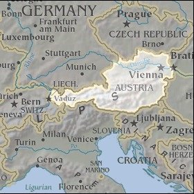 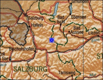 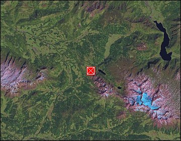 Map references: left: courtesy CIA, middle: courtesy LOC map collection, right: courtesy NASA. This page has been updated on: 2007-Nov-06 |
||