 |
Upper Austria: Gosaustausee |
Album Overview
Photo Index
  |
|
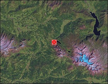
More photos in the vicinity: Zwieselalm and Lammertal Tennengebirge Vorderer Gosausee |
Here we look northwards towards the village of Gosau at the end of the valley, which gave the lakes of this area their name. In the foreground you see the Gosaustausee (a reservoir). The mountain in the background is called Hoch Kalmberg. |
|
|
Date: Jul 30, 2007 Longitude: 13° 29.12' Latitude: 47° 31.75'  
Show Photo Position in Google Maps |
||
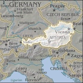   Map references: left: courtesy CIA, middle: courtesy LOC map collection, right: courtesy NASA. This page has been updated on: 2007-Nov-06 |
||