|
Photos - La Digue (Seychelles) |
|
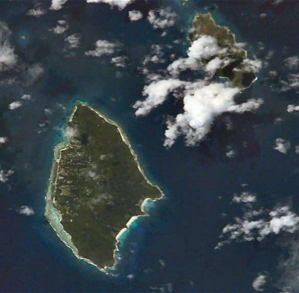
The Seychelles is an archipelago nation of about 150 islands scattered over 1,400,000 square kilometres of warm crystal clear waters of the Indian Ocean. Situated well outside the cyclone belt, Seychelles boasts one of the most pristine natural environments on the planet.
La Digue is the fourth largest island of the Seychelles (10 km2, a population of 2000), lying east of Praslin and west of Félicité Island. La Digue is well-known for its beaches especially Anse Source d'Argent. In former times copra and vanilla production were mainstays of the local economy, nowadays the main income of the island comes from tourism. If you are planning to visit the Seychelles you may be interested in having a look at several photos of the islands. Click on the following links to view the pictures. We have taken any attempt to provide exact (GPS-based) coordinates of the positions where the photos have been taken. |
||
Anse Patates Palm Tree Spider "Spider Town" L'Union Estate Cementary Oxcart Anse Source d' Argent Anse Source d' Argent Granite Rocks at Anse Source d' Argent Tropical Vegetation L'Union Estate National Park L'Union Estate National Park Sprouting Coconut Land Tortoise House at the Eastern Side of La Digue Drying Fish Anse Cocos Anse Cocos Anse Cocos Tropical Forest Tropical Forest Freshwater Pond La Passe Boat at La Passe L'Union Estate seen from Belle Vue Praslin seen from Belle Vue La Reúnion seen from Belle Vue Property in the Green Praslin seen from La Digue Belle Vue In the Green La Passe Anse Severe Anse Severe Northernmost Point of La Digue Félicité seen from Anse Patates The Northern Coast of La Digue Palm Trees at the Beach Northern Tip of La Digue Regatta of the Seychelles Harbour at La Passe |
||