 |
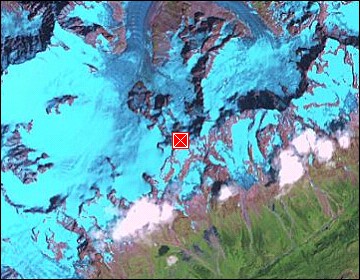
Chamonix-Mt.Blanc: Rochefort Ridge |
Album Overview
Photo Index
  |
|
More photos in the vicinity: Rochefort Ridge CloseUp Mont Blanc Mont Blanc and Dent du Géan |
The famous Rochefort Ridge (Arrête de Rochefort) from its starting point |
|
|
Date: Jul 27, 2004 Longitude: 6° 57.11' Latitude: 45° 51.68'  
Show Photo Position in Google Maps |
||
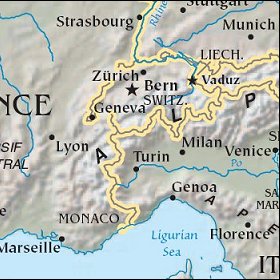   Map references: left: courtesy CIA, middle: courtesy US LoC Map Collection, right: courtesy NASA. This page has been updated on: 2007-Nov-07 |
||