 |
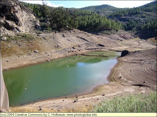
Gran Canaria: Embalse de los Horros |
Album Overview
Photo Index
  |
|
More photos in the vicinity: Roque Nublo La Culata Valley of La Culata |
The water from rain and snowfall in winter around Pico de las Nieves is collected in several reservoirs serving as water supply for the lower regions in the dry summer months. Sure that these storage lakes are quite empty in autumn. |
|
|
Date: Nov 23, 2004 Longitude: -15° 35.74' Latitude: 27° 57.98'  
Show Photo Position in Google Maps |
||
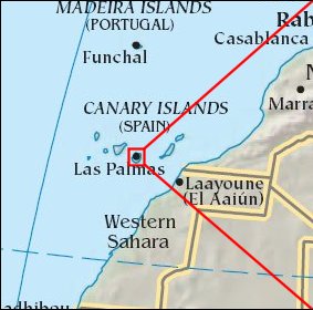
   Map references: left: courtesy CIA, middle: courtesy Cicar, right: courtesy NASA. This page has been updated on: 2007-Nov-08 |
||