 |
Gran Canaria: Llanos del Garañón |
Album Overview
Photo Index
  |
|
More photos in the vicinity: The Peaks of the Canaries Valley of La Culata Barranco de Tejeda |
In the triangle between Paso la Cumbra, Pico de las Nieves and Roque Nublo pine trees and black volcanic trails are forming a recreational area called Llanos del Garañón. In the winter month this area can be covered by a few centimeters of snow. |
|
|
Date: Nov 23, 2004 Longitude: -15° 35.17' Latitude: 27° 58.30'  
Show Photo Position in Google Maps |
||
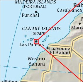   Map references: left: courtesy CIA, middle: courtesy Cicar, right: courtesy NASA. This page has been updated on: 2007-Nov-08 |
||