 |
Gran Canaria: Valley of La Culata |
Album Overview
Photo Index
  |
|
More photos in the vicinity: La Culata II La Culata Barranco de Tejeda |
The valley of La Culata is surrounded by the highest peaks of the island. And on its flanks one can find many of these rock needles, which are volcano chimneys, similar to the Roque Nublo. |
|
|
Date: Nov 23, 2004 Longitude: -15° 35.97' Latitude: 27° 58.30'  
Show Photo Position in Google Maps |
||
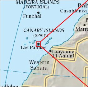   Map references: left: courtesy CIA, middle: courtesy Cicar, right: courtesy NASA. This page has been updated on: 2007-Nov-08 |
||