 |
Gran Canaria: Pico de Galdar |
Album Overview
Photo Index
  |
|
More photos in the vicinity: Baranco de Agaete Montana de Arucas Arucas |
The Pico de Galdar has a very similar shape to the Teide (Tenerife), the highest mountain of Spain. On its slopes one can find the colourful facades of the town of La Atalya. On the left side of the picture the real Teide is visible in the haze. |
|
|
Date: Nov 22, 2004 Longitude: -15° 36.91' Latitude: 28° 8.66'  
Show Photo Position in Google Maps |
||
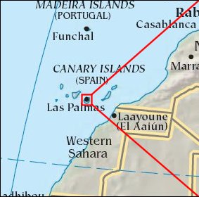   Map references: left: courtesy CIA, middle: courtesy Cicar, right: courtesy NASA. This page has been updated on: 2007-Nov-08 |
||