 |
Gran Canaria: Montana de Arucas |
Album Overview
Photo Index
  |
|
More photos in the vicinity: Arucas Cardones and La Isletta Basilica de Nuestra Senora del Pino |
From the Montana de Arucas (402m) one has a good view over the northern slopes of the central mountains. This area is receiving the largest amount of precipitation on the island and is therefore intensively used for farming. |
|
|
Date: Nov 24, 2004 Longitude: -15° 31.35' Latitude: 28° 7.49'  
Show Photo Position in Google Maps |
||
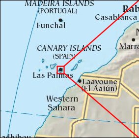 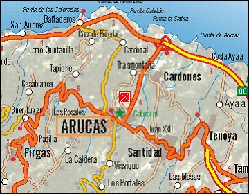  Map references: left: courtesy CIA, middle: courtesy Cicar, right: courtesy NASA. This page has been updated on: 2007-Nov-08 |
||