 |
Paris: The River Seine |
More about in Wikipedia
Album Overview
Photo Index
  |
|
More photos in the vicinity: [paris_20080710_012.jpg] [paris_20080710_013.jpg] Looking Down from Eiffel Tower |
The Seine is a slow-flowing major river of 776 km length within the regions of Île-de-France and Haute-Normandie. Here we are looking on Ile aux Cygnes close to the Eiffel tower. |
|
|
Date: Jul 10, 2008 Longitude: 2° 17.66' Latitude: 48° 51.50'  
Show Photo Position in Google Maps |
||
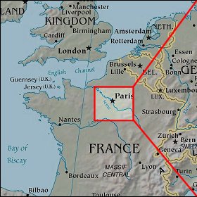   Map references: left: courtesy CIA, middle: courtesy US LoC Map Collection, right: courtesy NASA. This page has been updated on: 2011-Jul-31 |
||