Japan
 |
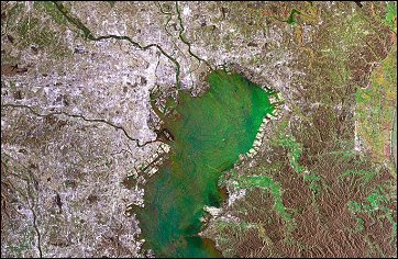
This Envisat image shows an area of about 10000 square kilometers around
Tokyo (Japan). Tokyo's center lies mainly south of the Ara-Kawa river;
other visible rivers on this image are the Edo-gawa river north to Ara-
Kawa and Tama-gawa just south to Ara-Kawa, all three streaming into
Tokyo-wan (Tokyo Bay)....
....read more |
 |
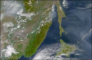
Extensive forest fires in Eastern Russia have been sending large volumes of smoke into the atmosphere over the Sea of Okhotsk and Kamchatka Peninsula. The smoke (greyish pixels) is easy to see in this SeaWiFS image against the relatively dark background of the northwestern Pacific Ocean. ....read more |
 |
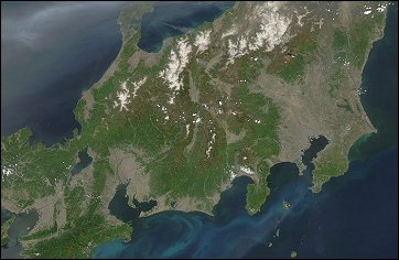
The Moderate Resolution Imaging Spectroradiometer (MODIS) on NASAís
Aqua satellite captured this remarkably cloud-free view of Honshu, Japanís main island, on May 4, 2005. A thick plume
of smoke crosses the island from the west where intense fires have been burning in North Korea. ....read more |
 |
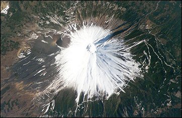
Fuji, Japanís tallest volcano (3,776 m) and a national symbol, is located about 110 km (70 miles) west-southwest of Tokyo in central Honshu, Japan. It is a highly recognizable target from space and last week International Space Station crew members peered down onto Fujiís snow-capped cone...... ....read more |


 Home
Home