 |
Vienna: Palace of Schönbrunn |
Album Overview
Photo Index
  |
|
More photos in the vicinity: Parish Church Ober-St.Veit seen from Gloriette at Schönbrunn Kahlenberg and Leopoldsberg seen from Gloriette Rudolfsheimer Kirche |
The Palalce of Schönbrunn as seen from the Gloriette. The frontage of the castle was under reconstruction at the time this photo has been taken. |
|
|
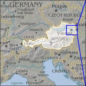
Date: Sep 17, 2004 Longitude: 16° 18.52' Latitude: 48° 10.70'  
Show Photo Position in Google Maps |
||
   Map references: left: courtesy CIA, middle: courtesy LOC map collection, right: courtesy NASA. This page has been updated on: 2007-Nov-06 |
||