 |
Vienna: High-risers at the Wienerberg seen from Gloriette |
Album Overview
Photo Index
  |
|
More photos in the vicinity: Baumgartner Höhe seen from Gloriette Baumgartner Höhe seen from Gloriette Park of Schönbrunn |
 |
|
|
Date: Sep 17, 2004 Longitude: 16° 18.53' Latitude: 48° 10.70'  
Show Photo Position in Google Maps |
||
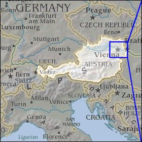 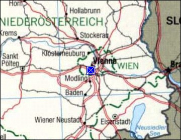 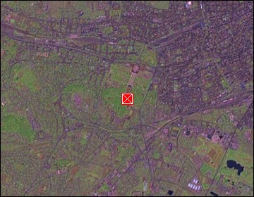 Map references: left: courtesy CIA, middle: courtesy LOC map collection, right: courtesy NASA. This page has been updated on: 2007-Nov-06 |
||