 |
Upper Austria: Großglockner and Großvenediger |
Album Overview
Photo Index
  |
|
More photos in the vicinity: Vorderer Gosausee Hinterer and Vorderer Gosausee Reißgangscharte |
On clear days you can seen Austrians highest mountain, the Großglockner (altitude nearly 4000 m at a distance of 70 km). Even farther away (100 km) is the Großvenediger, which you can see in the background at the right side of the photo. |
|
|
Date: Aug 01, 2007 Longitude: 13° 33.70' Latitude: 47° 29.15'  
Show Photo Position in Google Maps |
||
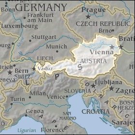 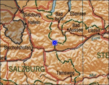 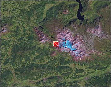 Map references: left: courtesy CIA, middle: courtesy LOC map collection, right: courtesy NASA. This page has been updated on: 2007-Nov-06 |
||