 |
Upper Austria: Bischofsmütze |
Album Overview
Photo Index
  |
|
More photos in the vicinity: Hofpürglhütte Rötelstein Reißgangscharte |
The peak "Bischofsmütze" is named for its characterisc form of a mitre. The two peaks in the center of the background are called "Große und Kleine Bischofsmütze" (big and small mitre). |
|
|
Date: Aug 01, 2007 Longitude: 13° 31.14' Latitude: 47° 28.94'  
Show Photo Position in Google Maps |
||
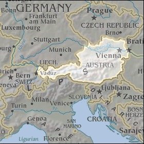   Map references: left: courtesy CIA, middle: courtesy LOC map collection, right: courtesy NASA. This page has been updated on: 2007-Nov-06 |
||