 |
Upper Austria: Traunstein |
Album Overview
Photo Index
  |
|
More photos in the vicinity: Pedestrians Bridge over the Traun at Wels Traunstein seen from Pettenbach Historic Center of Wels |
On a clear day in autumn you can see the landmark Traunstein even when it is 30 kilometers away. |
|
|
Date: Oct 24, 2004 Longitude: 14° 2.20' Latitude: 48° 3.94'  
Show Photo Position in Google Maps |
||
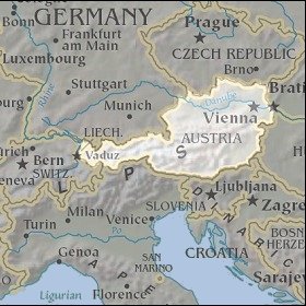   Map references: left: courtesy CIA, middle: courtesy LOC map collection, right: courtesy NASA. This page has been updated on: 2007-Nov-06 |
||