 |
Djerba: Sebkha de Sidi Garous |
Album Overview
Photo Index
  |
|
More photos in the vicinity: Hotel Complex near Ras Tourgueness Sebkha de Sidi Garous Plage de la Seguia |
Djerba is a flat island, isn't it? The highest elevation is about 50 m above sea level. As a consequence many lagoons are shallow, offering a refuge for many birds. |
|
|
Date: Feb 07, 2001 Longitude: 11° 3.07' Latitude: 33° 47.58'  
Show Photo Position in Google Maps |
||
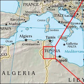  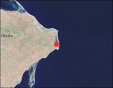 Map references: left: courtesy CIA, middle: courtesy US LoC Map Collection, right: courtesy NASA. This page has been updated on: 2007-Nov-08 |
||