 |
Djerba: "Gas Station" near Medenine |
Album Overview
Photo Index
  |
|
More photos in the vicinity: In the Marshlands south of Gabes Mountains near Tounine Road to Toujane |
In order to fill up your car with gasoline, you consult one of the many "gas stations" along the road. This fuel most probably comes directly from Libya. |
|
|
Date: Feb 05, 2001 Longitude: 10° 22.61' Latitude: 33° 27.17'  
Show Photo Position in Google Maps |
||
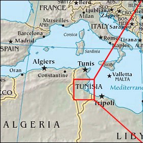   Map references: left: courtesy CIA, middle: courtesy US LoC Map Collection, right: courtesy NASA. This page has been updated on: 2007-Nov-08 |
||