 |
Djerba: River in the Mountains near Matmata |
Album Overview
Photo Index
  |
|
More photos in the vicinity: Highlands near Matmata Mountains near Matmata Mountains near Matmata |
A wadi is a dry riverbed that contains water only during times of heavy rain. |
|
|
Date: Feb 05, 2001 Longitude: 10° 1.91' Latitude: 33° 29.76'  
Show Photo Position in Google Maps |
||
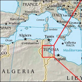 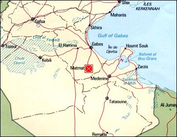  Map references: left: courtesy CIA, middle: courtesy US LoC Map Collection, right: courtesy NASA. This page has been updated on: 2007-Nov-08 |
||