 |
Djerba: Olive Trees in South Tunisia |
Album Overview
Photo Index
  |
|
More photos in the vicinity: Roman Embankment to Djerba seen from Tunisia Roman Embankment between Djerba and Tunisia Bordj Kastil seen from Tunisia |
25% of Tunisia's cultivated soil is covered by olive trees as here a few kilometers south of Djerba. |
|
|
Date: Feb 04, 2001 Longitude: 10° 56.64' Latitude: 33° 37.02'  
Show Photo Position in Google Maps |
||
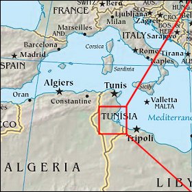 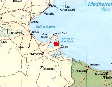  Map references: left: courtesy CIA, middle: courtesy US LoC Map Collection, right: courtesy NASA. This page has been updated on: 2007-Nov-08 |
||