 |
Costa del Sol: Rincón de la Victoria seen from Air |
Album Overview
Photo Index
  |
|
More photos in the vicinity: Málaga seen from Montes de Málaga Málaga seen from Montes de Málaga Málaga |
This aerial photo clearly shows the narrow densely populated strip along the coast. |
|
|
Date: Aug 21, 2006 Longitude: -4° 19.56' Latitude: 36° 45.24'  
Show Photo Position in Google Maps |
||
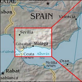   Map references: left: courtesy CIA, middle: courtesy US LoC Map Collection, right: courtesy NASA. This page has been updated on: 2007-Nov-08 |
||