 |
Costa del Sol: Embalse de Canales |
Album Overview
Photo Index
  |
|
More photos in the vicinity: Güéjar Sierra Pradollano Sierra Nevada and Pradollano |
 |
|
|
Date: Aug 11, 2006 Longitude: -3° 29.11' Latitude: 37° 8.41'  
Show Photo Position in Google Maps |
||
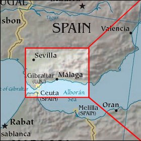  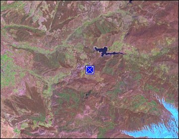 Map references: left: courtesy CIA, middle: courtesy US LoC Map Collection, right: courtesy NASA. This page has been updated on: 2007-Nov-08 |
||