 |
Gran Canaria: Paso La Cumbre |
Album Overview
Photo Index
  |
|
More photos in the vicinity: Pico de Teide Mirador de Becerra I Mirador de Becerra II |
La Cumbre is the ridge that separates the valley of La Culata from the valley of Las Lagunetas. Due to the high altitude the weather conditions are more favorable for vegetation than at lower altitudes (especially in the southern part of the island). |
|
|
Date: Nov 23, 2004 Longitude: -15° 35.57' Latitude: 27° 59.28'  
Show Photo Position in Google Maps |
||
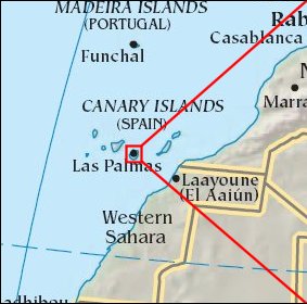   Map references: left: courtesy CIA, middle: courtesy Cicar, right: courtesy NASA. This page has been updated on: 2007-Nov-08 |
||