 |
Gran Canaria: Valley of La Culata |
Album Overview
Photo Index
  |
|
More photos in the vicinity: Roque Bentaiga and Pico de Teide Volcanic Erosion The Peaks of the Canaries |
An old royal traderoute is leading from the small village of La Culata through the green valley to the Paso la Cumbre. A small spring gives rise to lush vegetation. |
|
|
Date: Nov 23, 2004 Longitude: -15° 35.45' Latitude: 27° 58.79'  
Show Photo Position in Google Maps |
||
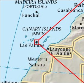 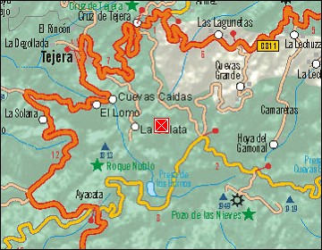  Map references: left: courtesy CIA, middle: courtesy Cicar, right: courtesy NASA. This page has been updated on: 2007-Nov-08 |
||