 |
Central Guatemala: Small Volcanic Hills |
Album Overview
Photo Index
  |
|
More photos in the vicinity: Quarry Flores and Lago Petén Itzá Flores |
This photo shows a typical landscape of northern Guatemala with its small volcanic hills having been deforested for farming purposes. |
|
|
Date: Dec 19, 2004 Longitude: -89° 54.94' Latitude: 16° 53.40'  
Show Photo Position in Google Maps |
||
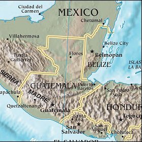   Map references: left: courtesy CIA, middle: courtesy US LoC Map Collection, right: courtesy NASA. This page has been updated on: 2007-Nov-08 |
||