 |
Central Guatemala: Quarry |
Album Overview
Photo Index
  |
|
More photos in the vicinity: Small Volcanic Hills Flores and Lago Petén Itzá Flores |
This quarry used for producing house construction material reveals the thin layer of humus despite the fact that this area was covered by tropical rain forest not too long ago. |
|
|
Date: Dec 19, 2004 Longitude: -89° 54.95' Latitude: 16° 53.37'  
Show Photo Position in Google Maps |
||
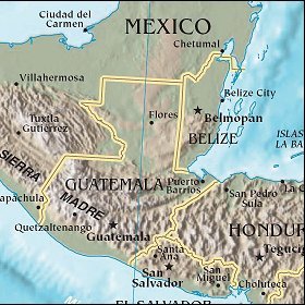   Map references: left: courtesy CIA, middle: courtesy US LoC Map Collection, right: courtesy NASA. This page has been updated on: 2007-Nov-08 |
||