 |
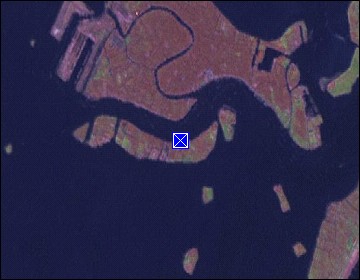
Venice: Chiesa del Redentore |
Album Overview
Photo Index
  |
|
More photos in the vicinity: Chiesa del Redentore Pontoon Bridge Basilica di Santa Maria della Salute |
Once a year the Chiesa del Redentore is connected to the Venetian main island by a pontoon bridge.  |
|
|
Date: Jul 15, 2007 Longitude: 12° 19.96' Latitude: 45° 25.57'  
Show Photo Position in Google Maps |
||
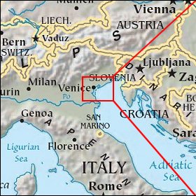   Map references: left: courtesy CIA, middle: courtesy US LoC Map Collection, right: courtesy NASA. This page has been updated on: 2007-Nov-08 |
||