 |
Oman: The Barka Fort |
Album Overview
Photo Index
  |
|
More photos in the vicinity: Fishermen at Barka Suwadi Al-Batha Beach at Suwadi Al-Batha |
 |
|
|
Date: Mar 02, 2010 Longitude: 57° 53.69' Latitude: 23° 42.48'  
Show Photo Position in Google Maps |
||
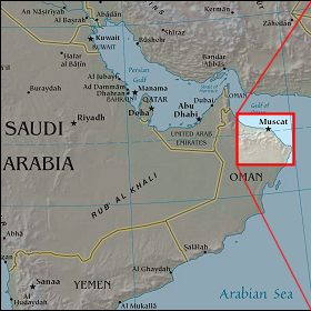 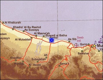 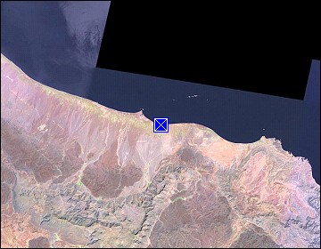 Map references: left: courtesy CIA, middle: courtesy US LoC Map Collection, right: courtesy NASA. This page has been updated on: 2011-Jul-31 |
||