 |
London: Queen Anne Street |
Album Overview
Photo Index
  |
|
More photos in the vicinity: Buses in the Oxford Street Weymouth Street Marylebone High Street |
 |
|
|
Date: Apr 14, 2008 Longitude: -0° 8.94' Latitude: 51° 31.02'  
Show Photo Position in Google Maps |
||
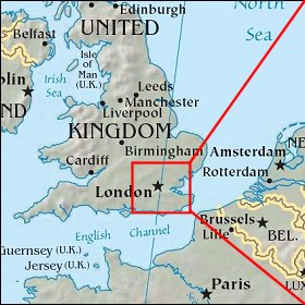 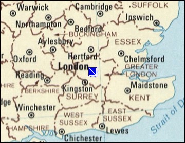 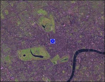 Map references: left: courtesy CIA, middle: courtesy US LoC Map Collection, right: courtesy NASA. This page has been updated on: 2008-Apr-19 |
||