 |
Hawaii/Kauai: Hanalei Bay |
Album Overview
Photo Index
  |
|
More photos in the vicinity: Hanalei Pier Hanalei Beach Hanalei Beach |
 |
|
|
Date: Dec 09, 2006 Longitude: -159° 29.83' Latitude: 22° 12.76'  
Show Photo Position in Google Maps |
||
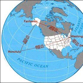 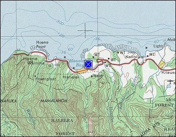 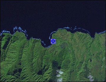 Map references: left: courtesy CIA, middle: courtesy US LoC Map Collection, right: courtesy NASA. This page has been updated on: 2011-Jul-28 |
||