 |
Hawaii/Kauai: Waimea Canyon I |
Album Overview
Photo Index
  |
|
More photos in the vicinity: South flank of the Waimea Canyon Central Mountains near Waimea Canyon Waimea Canyon Insight III |
Thousands of years ago a major earthquake almost divided the island into two and left the big Waimea Canyon. With its 1200m high flanks its also called the grand canyon of the pacific. |
|
|
Date: Dec 07, 2006 Longitude: -159° 40.55' Latitude: 21° 59.74'  
Show Photo Position in Google Maps |
||
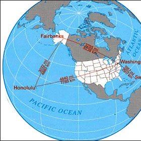
   Map references: left: courtesy CIA, middle: courtesy US LoC Map Collection, right: courtesy NASA. This page has been updated on: 2011-Jul-28 |
||