 |
L'viv: Ensemble of the Rynok Square |
Album Overview
Photo Index
  |
|
More photos in the vicinity: The Town Hall Ensemble of the Rynok Square Rynok Square |
 |
|
|
Date: Jun 21, 2007 Longitude: 24° 1.93' Latitude: 49° 50.50'  
Show Photo Position in Google Maps |
||
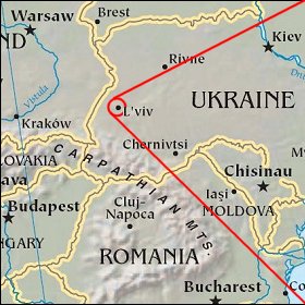  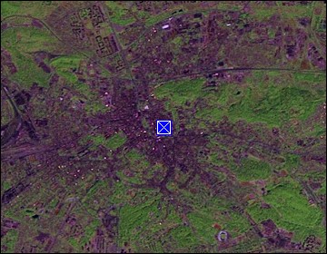 Map references: left: courtesy CIA, middle: courtesy US LoC Map Collection, right: courtesy NASA. This page has been updated on: 2008-Feb-08 |
||