 |
Tenerife: Puerto de la Cruz and its Surroundings |
Album Overview
Photo Index
  |
|
More photos in the vicinity: Orotava and the Valley of Puerto de la Cruz La Quinta and Santa Ursula seen from Puerto de la Cruz Thorns Growing on the Trunk of a Tree |
The slopes around Puerto de la Cruz offer fertile land with enough precipitaion to grow bananas.  |
|
|
Date: Feb 07, 2004 Longitude: -16° 30.43' Latitude: 28° 24.39'  
Show Photo Position in Google Maps |
||
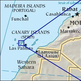   Map references: left: courtesy CIA, middle: courtesy Cicar, right: courtesy NASA. This page has been updated on: 2007-Nov-08 |
||