 |
La Palma: Coast around Santa Cruz |
Album Overview
Photo Index
  |
|
More photos in the vicinity: Flowering Agave at the Coast Coast around Santa Cruz The Bay of Santa Cruz |
 |
|
|
Date: Aug 14, 2007 Longitude: -17° 45.31' Latitude: 28° 42.21'  
Show Photo Position in Google Maps |
||
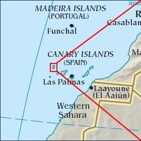   Map references: left: courtesy CIA, middle: courtesy Cicar, right: courtesy NASA. This page has been updated on: 2007-Nov-06 |
||