 |
La Palma: Barranco de las Angustias |
Album Overview
Photo Index
  |
|
More photos in the vicinity: Puerto de Tazacorte Nuestra Señora de las Angustias Puerto de Tazacorte |
The Barranco de las Angustias is the only outlet of the many streams in the Caldera de Taburiente, draining a area of roughly 100 km2<(sup>. Especially during winter time the water level in the revine can rise quickly and become dangerous to hikers. |
|
|
Date: Aug 14, 2007 Longitude: -17° 56.28' Latitude: 28° 39.19'  
Show Photo Position in Google Maps |
||
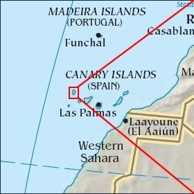   Map references: left: courtesy CIA, middle: courtesy Cicar, right: courtesy NASA. This page has been updated on: 2007-Nov-06 |
||