 |
Heidelberg: Jesuitenkirche |
Album Overview
Photo Index
  |
|
More photos in the vicinity: Universitätsplatz Pedestrian Zone in the City Center Ritter |
The Church of the Jesuits was constructed during two different periods. The construction was started in 1712. The tower of the church has been added 150 years later between 1866 and 1872. |
|
|
Date: Apr 20, 2006 Longitude: 8° 42.43' Latitude: 49° 24.67'  
Show Photo Position in Google Maps |
||
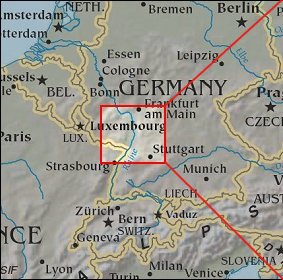   Map references: left: courtesy CIA, middle: courtesy US LoC Map Collection, right: courtesy NASA. This page has been updated on: 2007-Nov-08 |
||