 |
Lower Austria: Klangturm of St. Pölten |
Album Overview
Photo Index
  |
|
More photos in the vicinity: Klangturm in the Governmental District of St. Pölten Northeastern Part of St. Pölten Cathedral of St. Pölten seen from Klangturm |
 |
|
|
Date: Apr 08, 2007 Longitude: 15° 37.98' Latitude: 48° 11.97'  
Show Photo Position in Google Maps |
||
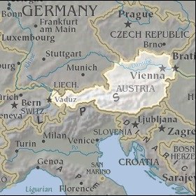 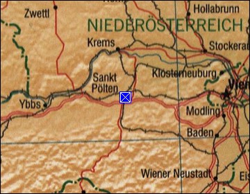 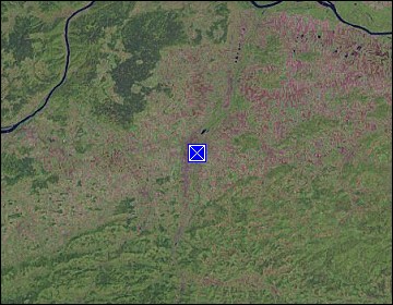 Map references: left: courtesy CIA, middle: courtesy LOC map collection, right: courtesy NASA. This page has been updated on: 2011-Jul-29 |
||