 |
Lower Austria: Hochkar |
Album Overview
Photo Index
  |
|
More photos in the vicinity: View from Hochkar [austria_20040911_006.jpg] [austria_20040911_021.jpg] |
The Hochkar is one of the nearest skiing areas to Vienna. Viennese can reach it by a 90 minute ride. In the right part you can see a pond whose water is used for artificial snow during dry winters. |
|
|
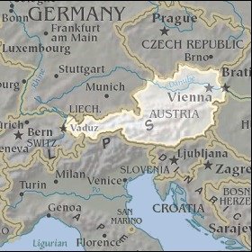
Date: Sep 11, 2004 Longitude: 14° 54.41' Latitude: 47° 42.65'  
Show Photo Position in Google Maps |
||
   Map references: left: courtesy CIA, middle: courtesy LOC map collection, right: courtesy NASA. This page has been updated on: 2011-Jul-29 |
||