 |
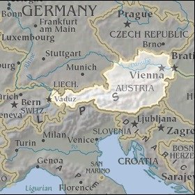
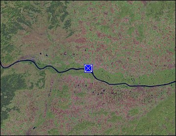
Lower Austria: Artificial Branch of the Danube |
Album Overview
Photo Index
  |
|
More photos in the vicinity: Danube at Altenwörth Altenwörth [austria_20040610_005.jpg] |
This artificial branch of the Danube at the power utility Altenwörth has been created to provide for floods and to give fish the opportunity to cross the barrier of the power plant. |
|
|
Date: Jun 10, 2004 Longitude: 15° 51.41' Latitude: 48° 23.05'  
Show Photo Position in Google Maps |
||
   Map references: left: courtesy CIA, middle: courtesy LOC map collection, right: courtesy NASA. This page has been updated on: 2011-Jul-29 |
||