 |
The Way of St James: A Branch of the River Rhône |
Album Overview
Photo Index
  |
|
More photos in the vicinity: Yenne Looking from Lagnieu towards Yenne Mont Tournier |
Through the floodplain forest of the River Rhône on the walk to Yenne.  |
|
|
Date: Apr 25, 2007 Longitude: 5° 46.02' Latitude: 45° 43.14'  
Show Photo Position in Google Maps |
||
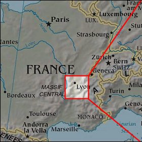   Map references: left: courtesy CIA, middle: courtesy US LoC Map Collection, right: courtesy NASA. This page has been updated on: 2008-Feb-21 |
||