 |
Mongolia: Landscape at Terelj |
Album Overview
Photo Index
  |
|
More photos in the vicinity: Mountain Scenery at Terelj Edelweiss at Terelj Terelj |
This image is a combination of three images showing a viewing angle of about 120 degrees. The green pastures are at an elevation of about 1500 m, the surrounding mountains reach 2500 m. |
|
|
Date: Jän 02, 2005 Longitude: 107° 23.68' Latitude: 47° 51.75'  
Show Photo Position in Google Maps |
||
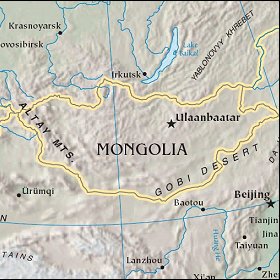   Map references: left: courtesy CIA, middle: courtesy US LoC Map Collection, right: courtesy NASA. This page has been updated on: 2007-Nov-08 |
||