 |
Mongolia: Paved Road South of Ulaanbaatar |
Album Overview
Photo Index
  |
|
More photos in the vicinity: Smog over Ulaanbaatar Archers at the Naadam Celebrations Mongolian Archer |
One of the main roads leading out of Ulaanbaatar. Few of them are paved.  |
|
|
Date: Jul 03, 2004 Longitude: 106° 47.37' Latitude: 47° 50.93'  
Show Photo Position in Google Maps |
||
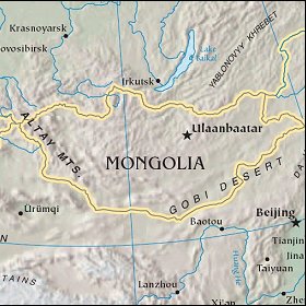   Map references: left: courtesy CIA, middle: courtesy US LoC Map Collection, right: courtesy NASA. This page has been updated on: 2007-Nov-08 |
||