 |
Praslin: Beach with Cousin in the Background |
Album Overview
Photo Index
  |
|
More photos in the vicinity: Beach at the Southwest Coast of Praslin Graveyard in Grand Anse Houses Further Inland |
Interestingly enough this part of Praslin has been flooded most (3.6 m flood level) by the tsumami in December 2004, despite the fact that this beach is on the leeward side of the island. |
|
|
Date: Jän 26, 2007 Longitude: 55° 43.57' Latitude: -4° 20.80'  
Show Photo Position in Google Maps |
||
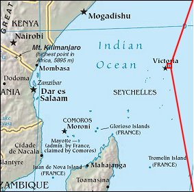   Map references: left: courtesy CIA, middle: courtesy US LoC Map Collection, right: courtesy NASA. This page has been updated on: 2007-Nov-08 |
||