 |
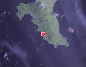
Mahé: Beach at the Southern End of Mahé |
Album Overview
Photo Index
  |
|
More photos in the vicinity: Baie Lazare Freshwater Pond Near Baie Lazare Granite Blocks in the Tropical Forest |
At this location the coral reef is not high enough to protect the beach. Thus the surf is meeting the beach (although in weakened form). |
|
|
Date: Jän 23, 2007 Longitude: 55° 30.06' Latitude: -4° 47.14'  
Show Photo Position in Google Maps |
||
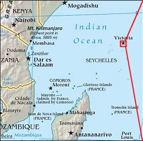   Map references: left: courtesy CIA, middle: courtesy US LoC Map Collection, right: courtesy NASA. This page has been updated on: 2007-Nov-08 |
||