 |
Mahé: Coast near Bel Ombre |
Album Overview
Photo Index
  |
|
More photos in the vicinity: Morne Seychellois National Park Trail through the Morne Seychellois Park Anse Major |
 |
|
|
Date: Jän 23, 2007 Longitude: 55° 23.65' Latitude: -4° 37.26'  
Show Photo Position in Google Maps |
||
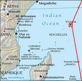 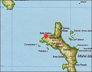 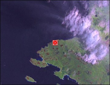 Map references: left: courtesy CIA, middle: courtesy US LoC Map Collection, right: courtesy NASA. This page has been updated on: 2007-Nov-08 |
||