 |
Swiss Alps: Brunnistock |
Album Overview
Photo Index
  |
|
More photos in the vicinity: Clariden from Hinterjochli View from Hinterjochli to the south-east. Klewenalp and Lake Lucerne |
The double-shaped summit is called Brunnistock (2952 m a.s.l.), seen from Hinterjochli |
|
|
Date: Sep 09, 2004 Longitude: 8° 29.18' Latitude: 46° 54.78'  
Show Photo Position in Google Maps |
||
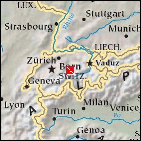   Map references: left: courtesy CIA, middle: courtesy US LoC Map Collection, right: courtesy NASA. This page has been updated on: 2007-Nov-08 |
||