 |
Andes: Laguna Blanca |
Album Overview
Photo Index
  |
|
More photos in the vicinity: A Lonely Outpost Unamed Lake Mercedario |
A small lake at about 3500 m above see level, which is fed by the drain of the glaciers of Mount Mercedario. |
|
|
Date: Feb 29, 2004 Longitude: -69° 59.58' Latitude: -31° 53.85'  
Show Photo Position in Google Maps |
||
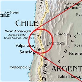 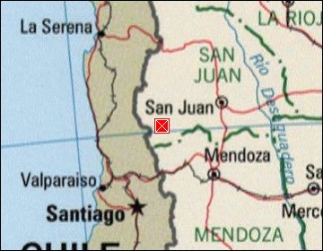  Map references: left: courtesy CIA, middle: courtesy LOC map collection, right: courtesy NASA. This page has been updated on: 2007-Nov-07 |
||