 |
Andes: On the Way to the Ollada Glacier |
Album Overview
Photo Index
  |
|
More photos in the vicinity: Descent from Mercedario On the Way Down from Mercedario Pirca de Indios |
In 2003 a drilling was conducted on this glacier (called La Ollada) in order to find a suitable ice body which provides reliable data on the variation of the climate of the Andes. |
|
|
Date: Feb 25, 2004 Longitude: -70° 6.01' Latitude: -31° 57.22'  
Show Photo Position in Google Maps |
||
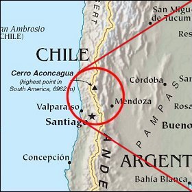 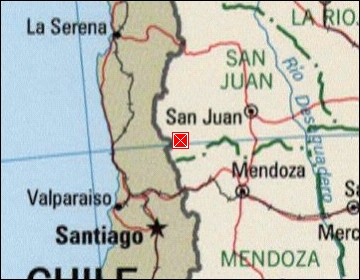  Map references: left: courtesy CIA, middle: courtesy LOC map collection, right: courtesy NASA. This page has been updated on: 2007-Nov-07 |
||