 |
Andes: Pirca de Indios |
Album Overview
Photo Index
  |
|
More photos in the vicinity: Pirca de Indios Pirca de Indios On the Way Down from Mercedario |
The next to last camp at an altitude of 5100 m before finally ascending to the peak of Mount Mercedario. The small glacier in the background provides drinking water. |
|
|
Date: Feb 19, 2004 Longitude: -70° 5.42' Latitude: -31° 56.38'  
Show Photo Position in Google Maps |
||
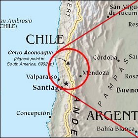   Map references: left: courtesy CIA, middle: courtesy LOC map collection, right: courtesy NASA. This page has been updated on: 2007-Nov-07 |
||