 |
Andes: Valle de Calingasta |
Album Overview
Photo Index
  |
|
More photos in the vicinity: Valle de Calingasta Valle de Calingasta Buried Road in Valle de Calingasta |
The Rio de los Patos (also called Rio San Juan further downstream) flows through the Valle de Calingasta. This river provides the main water supply for the city of San Juan (AR) and the agricultural zone around it. |
|
|
Date: Feb 11, 2004 Longitude: -69° 38.45' Latitude: -31° 50.75'  
Show Photo Position in Google Maps |
||
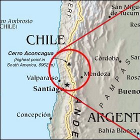
   Map references: left: courtesy CIA, middle: courtesy LOC map collection, right: courtesy NASA. This page has been updated on: 2007-Nov-07 |
||